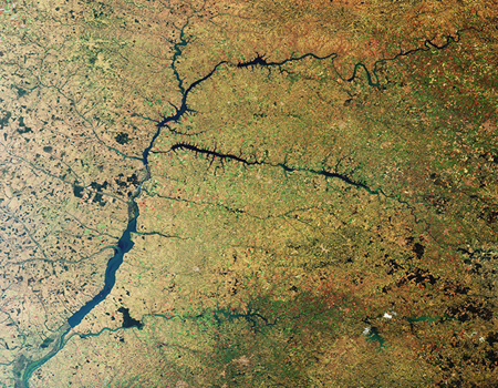
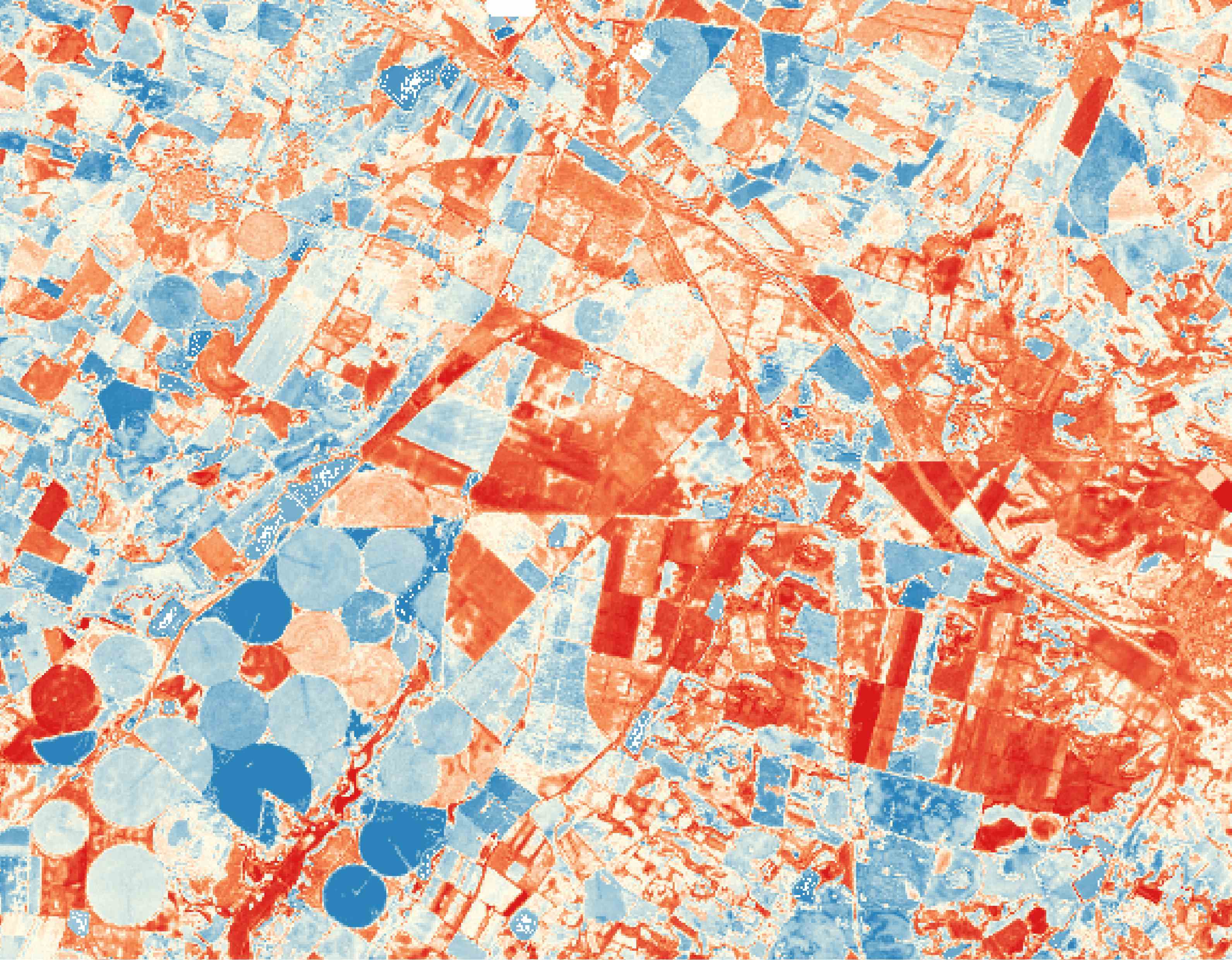
Map of surface soil moisture over cropfields in Lleida, Catalonia. Source: isardSAT
A new study led by isardSAT shows how the PrISM algorithm (Precipitation Inferred Soil Moisture) over satellite data provides accurate estimates of the amount of water used by irrigation, providing key information to optimise water use during drought periods. It has been developed in collaboration with IRTA, Fruitcentre, CESBIO, and Institut des Géosciences de l’Environnement (IGE).
The model calculations over areas irrigated by sprinkler and flood irrigation systems registered a high correlation compared to in situ data. The results are especially rigorous in the last year of data (2023), where restrictions imposed due to drought in the studied area limited the amount of irrigation water used.
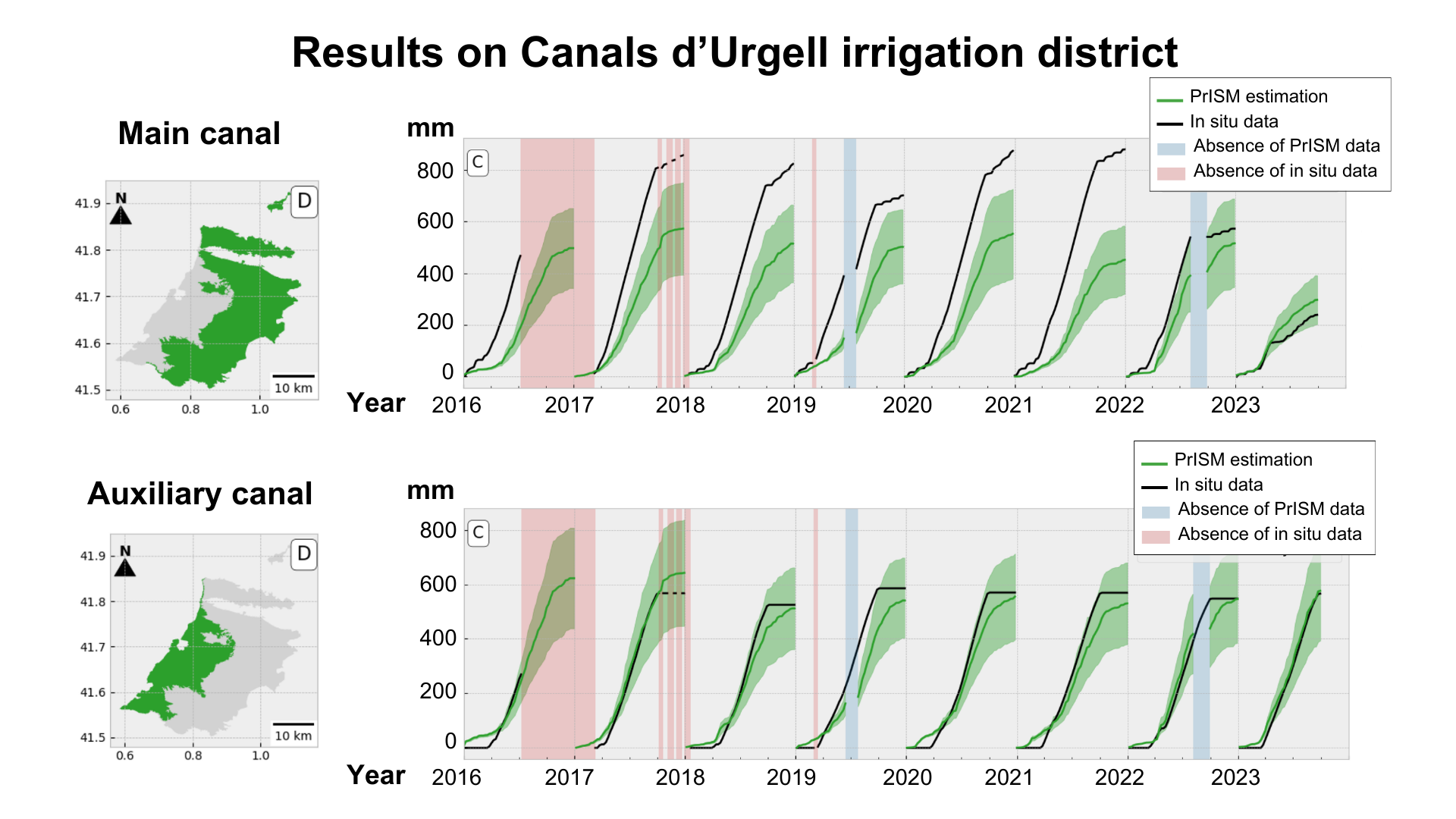 Comparison of the irrigation estimates produced by PrISM model and n situ data in Canals d’Urgell irrigation district between 2016 and 2023. Source: isardSAT
“The PrISM methodology has proven to be capable of adapting to sudden changes in irrigation practices, which are a typical consequence of drought periods”, explains Maria José Escorihuela, research member of the study. This information can help water managers to monitor with accuracy the water used in scarcity periods, improving agriculture’s resilience to climate change.
In areas mostly irrigated by drip irrigation system, the correlation was lower. The amount of water used in such areas used to be lower and more localised, and it is sometimes undetectable from satellite remote sensing observations. “Here, irrigation estimates could be improved by using EO data at higher spatial scale and integrating different variables such as crop evapotranspiration and root-zone soil moisture”, adds the researcher.
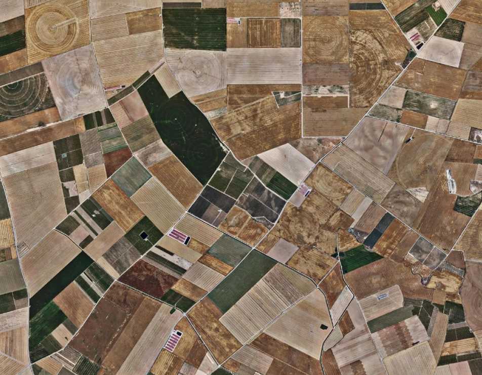
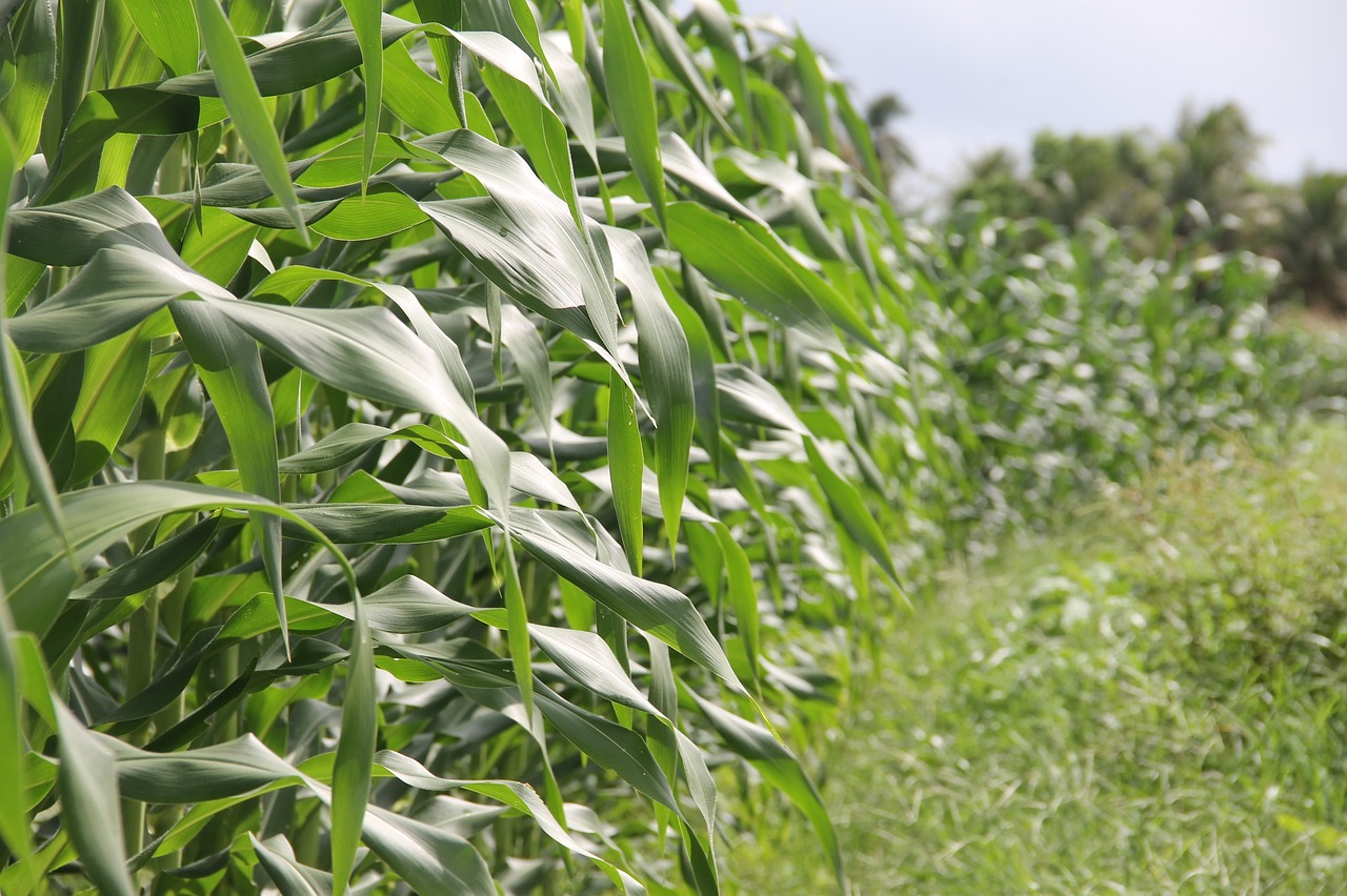 Corn fields are commonly irrigated by sprinklers within the studied area. Source: Pixabay
The study provides irrigation amount estimates over three irrigation districts in Catalunya, characterized by mostly being irrigated under different irrigation systems (Algerri-Balaguer, Canals d’Urgell and Segrià-Sud) during seven consecutive years. Remote sensing data used comprises 1km soil moisture data derived from SMAP, and it has been compared against in situ irrigation data from the irrigation districts, and measurements from meteorological stations.